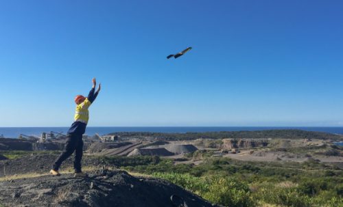
Drone mapping is an innovative technique that leverages the power of survey drones to collect aerial images and generate detailed maps and models. This advanced approach to surveying and mapping has revolutionized how data is collected and analyzed in various industries.
The core of drone mapping lies in its ability to collect aerial images of land surfaces and structures. Equipped with high-resolution cameras, drones capture a series of overlapping images from different angles, covering extensive areas with ease and precision.
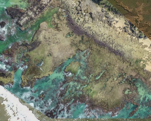
Drone Survey Mapping goes beyond mere photography. The images captured by survey drones are processed using specialized software to create comprehensive maps and 3D models. These maps are used for a variety of purposes, including land surveying, construction planning, environmental monitoring, and more.
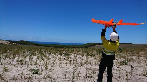
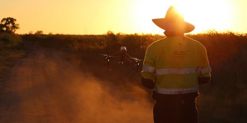
Survey drones are specifically designed for mapping purposes. They are equipped with advanced sensors and GPS technology, enabling them to navigate and cover targeted areas effectively. Their ability to reach difficult or inaccessible terrains makes them an invaluable tool for comprehensive land surveying.
Drone mapping is a technologically advanced method that transforms how aerial images are collected and utilized for accurate measurements and detailed survey mapping. At AUAV, our expertise in drone mapping provides clients with precise, efficient, and comprehensive data, essential for informed decision-making and effective project management.
