MEASURE – VISUALISE – COLLABORATE
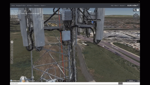
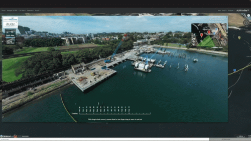
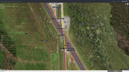
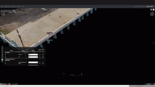
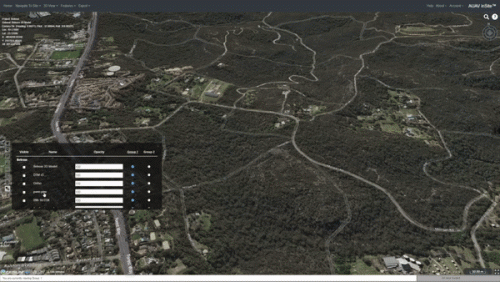
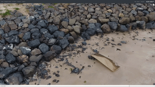
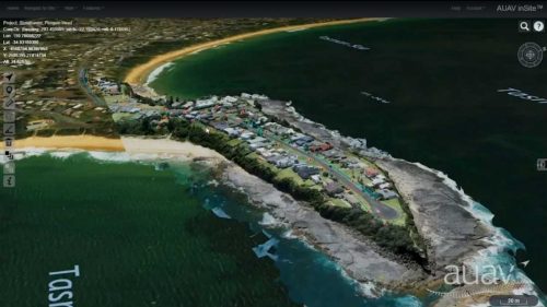
AUAV’s inSite™ is a proprietary web GIS platform for presenting various data types. With a core focus on visual asset inspection from drones, we host a complete 3D site capture. However, we can also display laser scan data, videos, panospheres, as-built models and pdf reports. All data is accessible securely in the cloud or from your internal servers using a standard web browser.
inSite™ allows hosting large datasets without the need to install expensive software at the client’s end. inSite™ can host various GIS datasets within a single portal with multiple user-specific privileges. inSite™ is not only a visualisation platform but also offers built-in measurement and analysis tools;
