

Articles

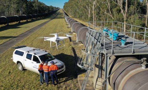
What is a Drone Used For? Commercial Uses and Applications in Various Industries

Pros And Cons: In-House Drone Programs vs Drone Service Providers

How To Create A KML Area File For Drone Aerial Survey & Mapping

Drone Data vs LiDAR: Clarifying Misconceptions

Why Drone Investments Have Failed To Take Off
12 Days of Christmas 2019
 predictions from 2017, extrapolated to 2019.")
Have We Reached Peak Drone?
