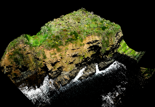
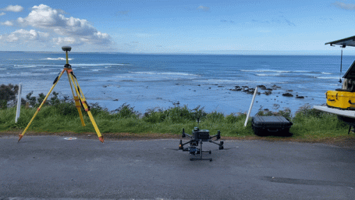
Assessment of the risk of coastal erosion to the Cape Patterson- Inverloch Road, also known locally as Bururong Rd for Fulton Hogan/Eastern Region Alliance. The spatial data captured is to allow assessment of the engineering and geotechnical options to re-align the road and/or protect the existing road.

Cape Patterson-Inverloch Road Erosion Case Study
Coastal Erosion Inspection for Fulton Hogan/Eastern Region Alliance

Challenges:
- The challenges to this project were arranging the LiDAR team, traffic control around both COVID restrictions, lockdowns and the weather.
Solutions:
- The resultant LiDAR point cloud and aerial ortho imagery capture enables us to produce a number of outputs including colourised and classified point cloud, digital terrain model (DTM), From this additional information can be derived, including the generation of
vector data, sections. - Along the coast, panospheres were also captured at sections where the road was close to the coast/cliffs. These enable the visualisation of the issues and help to inform both project managers, stakeholders and the community.
